
Western Kangaroo Island, South Australia
Vegetation change after bushfire
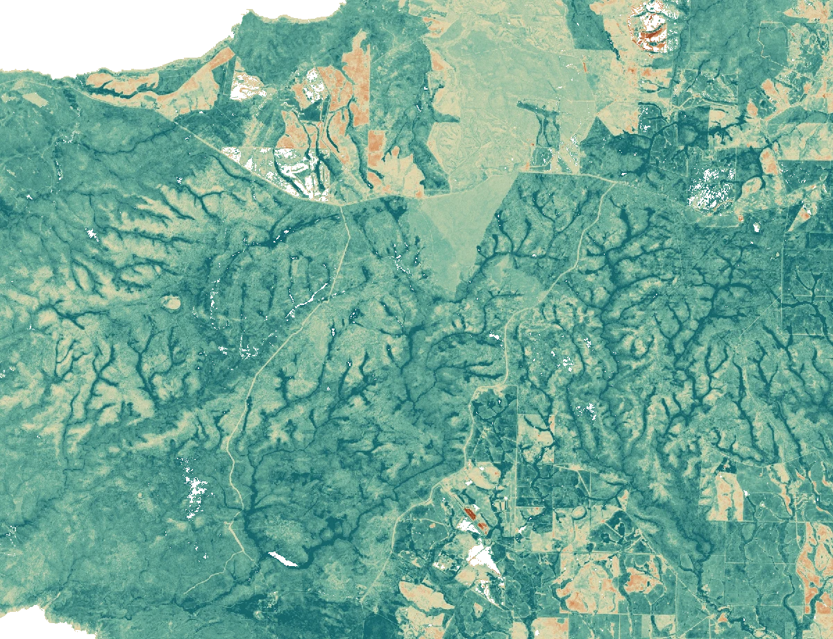
Explore satellite-observed greenness before the 2019–20 bushfires, shortly afterwards and one year later.
 5 km
9 February 2020 to 18 February 2021
Change in NDVI
How to read this example
The South Australian parks service documents severe fire impacts in Flinders Chase National Park. This demo compares three February Sentinel-2 scenes across a rectangular study area in western Kangaroo Island. The area contains varied land cover and extends beyond the park. The map does not use a fire perimeter.
We sampled red and near-infrared surface reflectance on a 30 m grid, retained pixels classified as vegetation or bare ground in all three scenes, and calculated NDVI. Comparisons show differences on those dates. Weather, land use and seasonal conditions can also affect the result. Greenness alone cannot establish recovery of species, habitat or pre-fire ecosystem condition.
Sources include National Parks and Wildlife Service South Australia and modified Copernicus Sentinel-2 data (2019–2021), accessed through Earth Search. The data notes (JSON) list the three scene records and grid details.