Feasibility and data suitability
Assess whether available imagery, labels, timing, resolution, and field context can support the decision you need to make.
Earth observation for practical decisions
Terrave uses earth observation data and geospatial intelligence to map and monitor crops, vegetation, land use, and environmental change.
Practical advice on data, validation, modelling risk, and delivery pathways for agriculture and environmental monitoring projects.
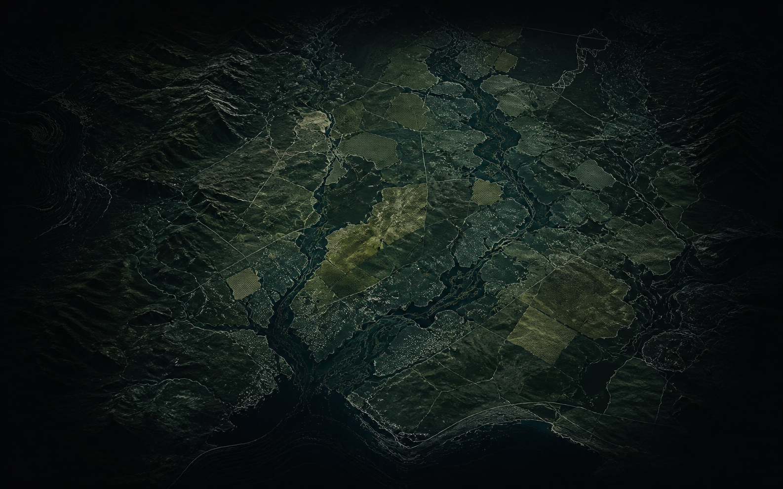
Terrave works where satellite imagery, field context, spatial data, and machine learning need to become a defensible decision pathway.
Assess whether available imagery, labels, timing, resolution, and field context can support the decision you need to make.
Review sampling, accuracy claims, uncertainty, edge cases, and failure modes before a model becomes operational evidence.
Design mapping workflows for vegetation, land condition, production landscapes, change detection, and monitoring questions.
Build repeatable geospatial workflows, review outputs, and handover pathways that can be rerun and explained.
Strengthen EO, AI, and geospatial project scopes with grounded assumptions, realistic delivery pathways, and validation language.
The useful question is rarely "can we map this?" It is whether the evidence will be good enough, repeatable enough, and clear enough to support a real-world decision.
Andy is a remote sensing and geospatial machine-learning specialist with 20+ years of applied experience across government, research, private-sector, agriculture, environment, and validation-heavy spatial products.
Terrave brings that experience into focused advisory and delivery work: clear technical judgement, practical workflows, and spatial evidence that can stand up to review.
Remote sensing, geospatial machine learning, operational spatial workflows, and practical project judgement.
Experience across land-use, land-cover, vegetation, production landscapes, monitoring, and spatial validation.
Data suitability, validation design, model risk, delivery pathways, and review before major investment.
A useful first email usually includes the place or region, the decision the work needs to support, available data or field information, timing, and what would make the project useful.
Email Andy about a projectandy@terrave.com.au